
Prepare the passage
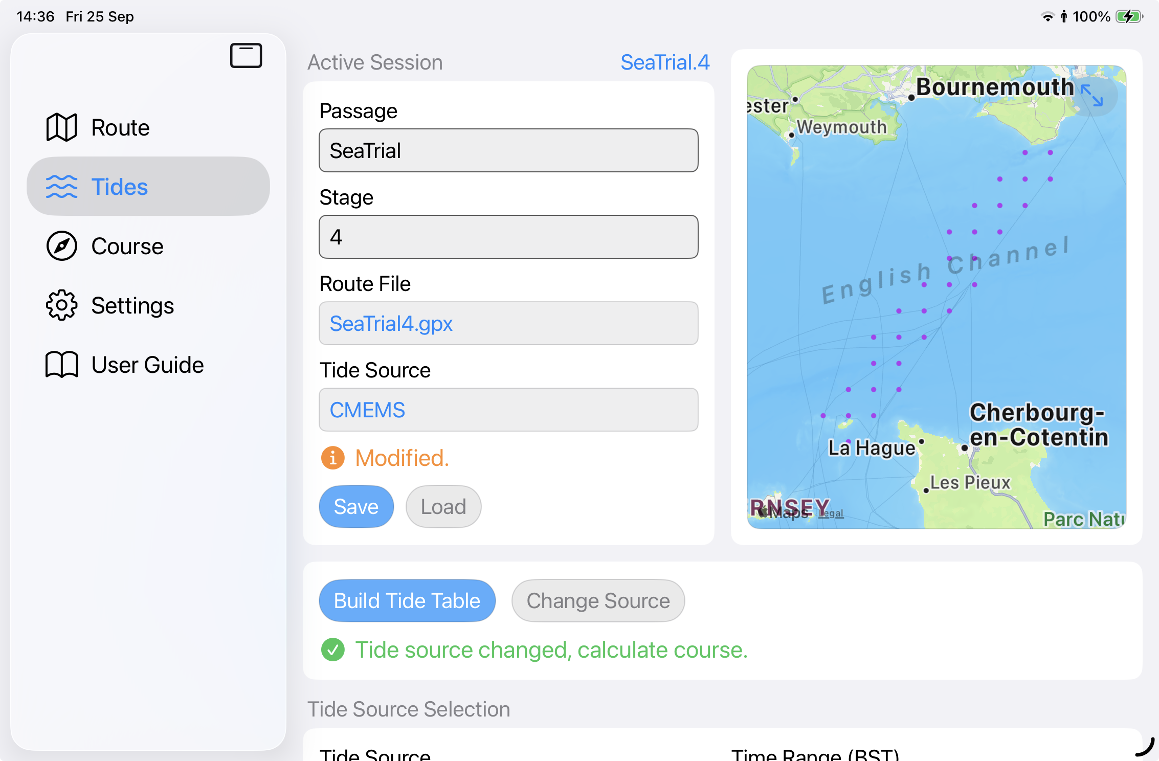
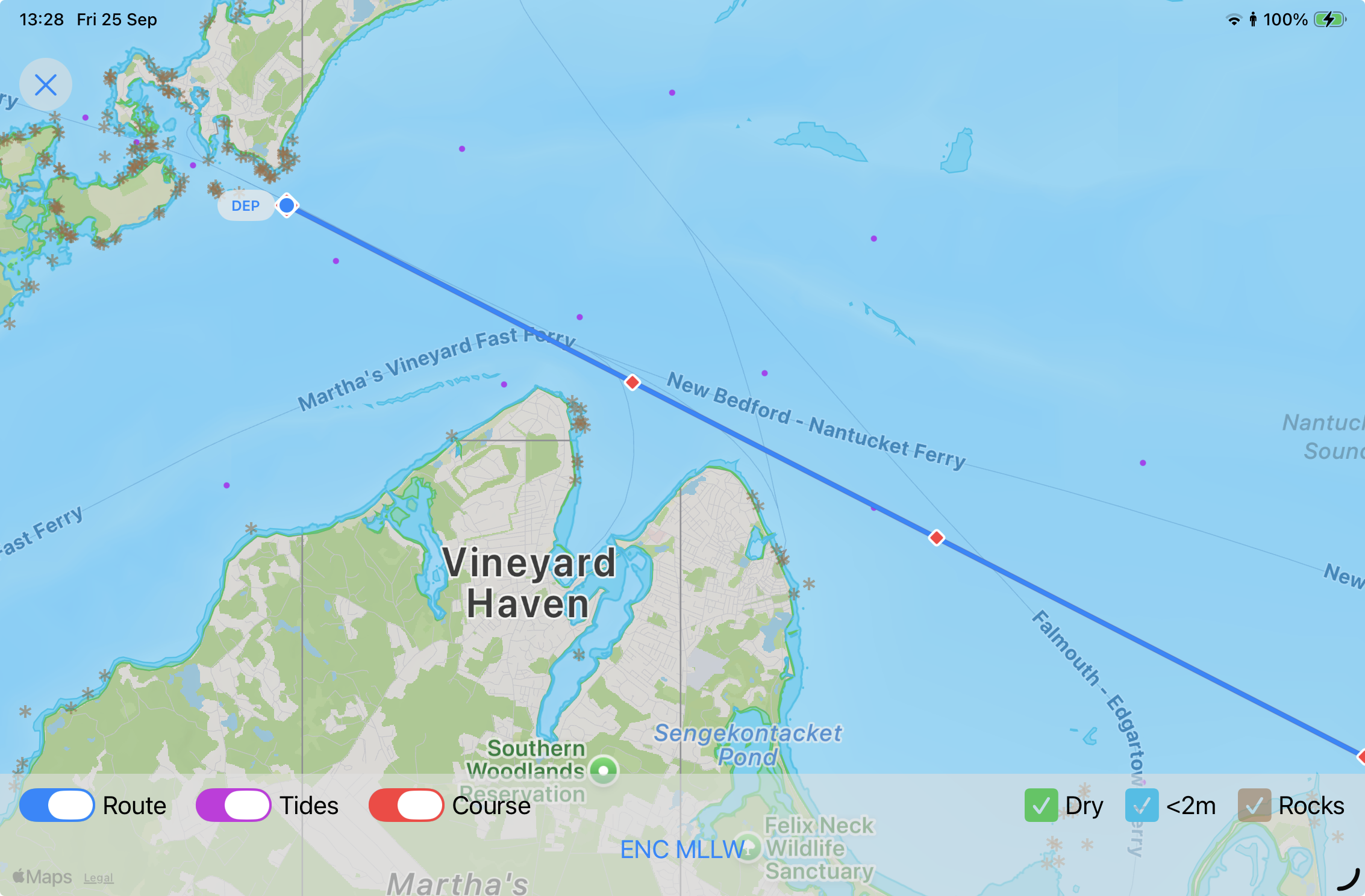
Set the route and passage parameters. course2steer builds the tidal picture for the planned time window.
Course to steer for tidal passages
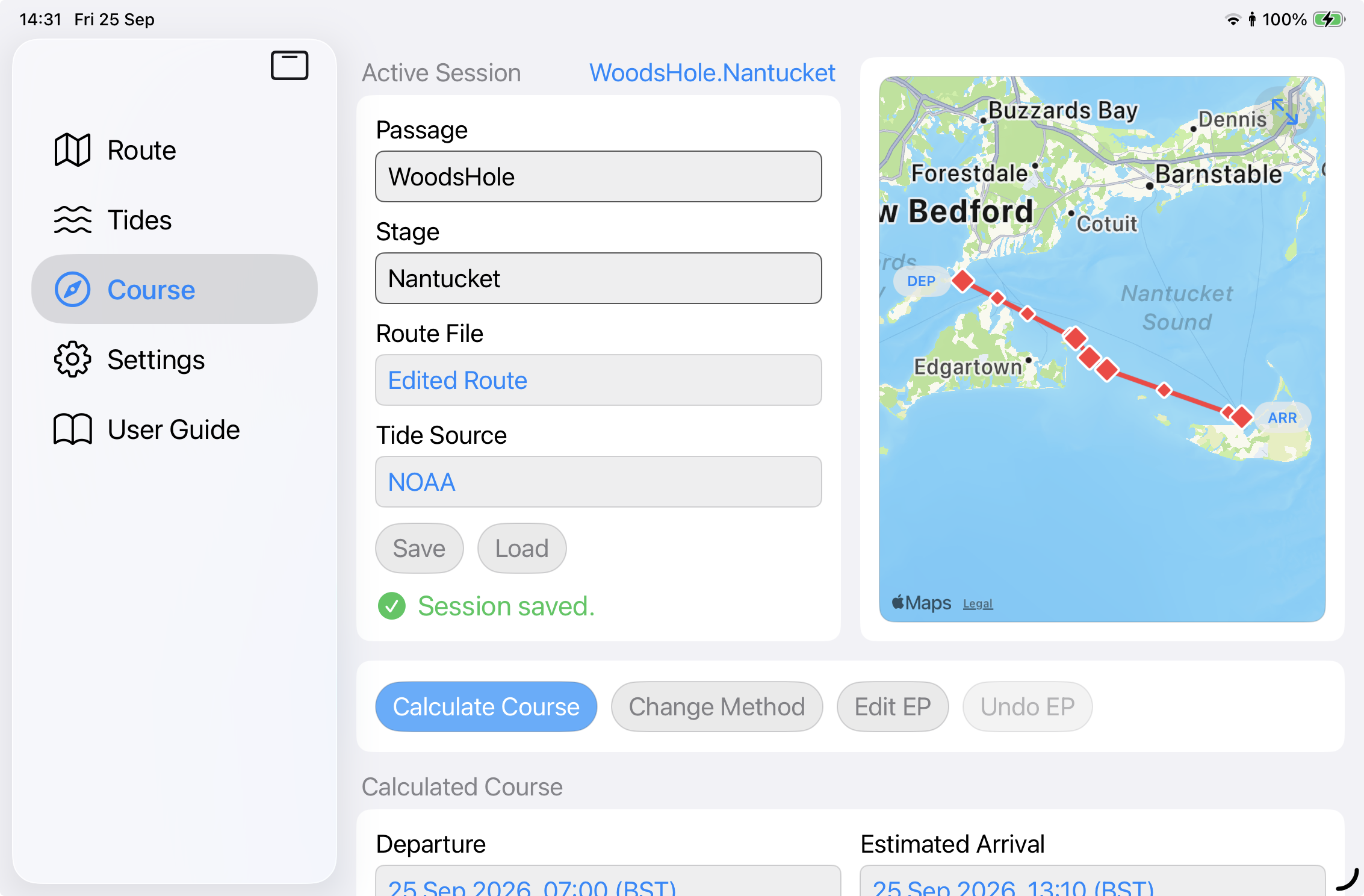
Build or import a route, load tides and calculate your course.
Why course2steer
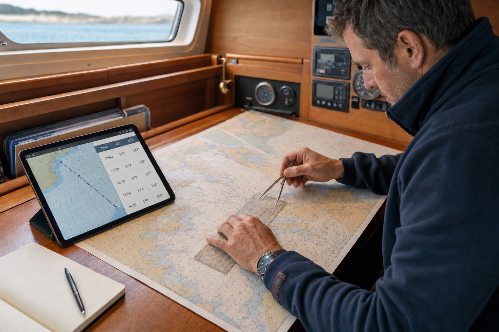
Modern technology transformed navigation, but tidal calculations are often manual and tidal information is not specific to a route.
Charted tidal diamonds and traditional tables provide valuable information, yet the navigator must often decipher, interpolate and plot the effect of set and drift by hand. course2steer brings accurate, relevant tide data into a useful mobile app that calculates the best course to steer while planning a passage or underway.
TIDES FOR YOUR TIME & POSITION
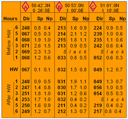
course2steer selects tide data for the navigator’s route, date, time and projected position, then builds a specific tide table to support chartwork calculations and navigation underway.
How it works
course2steer connects the planned route, route-specific tides and the navigator’s passage inputs.
Enter DEP and ARR, shape the waypoints, generate a route or import GPX. Add departure time, speed through the water, leeway and magnetic variation.
course2steer selects tide data for the route, projected time and position, then builds the tide table for the passage.
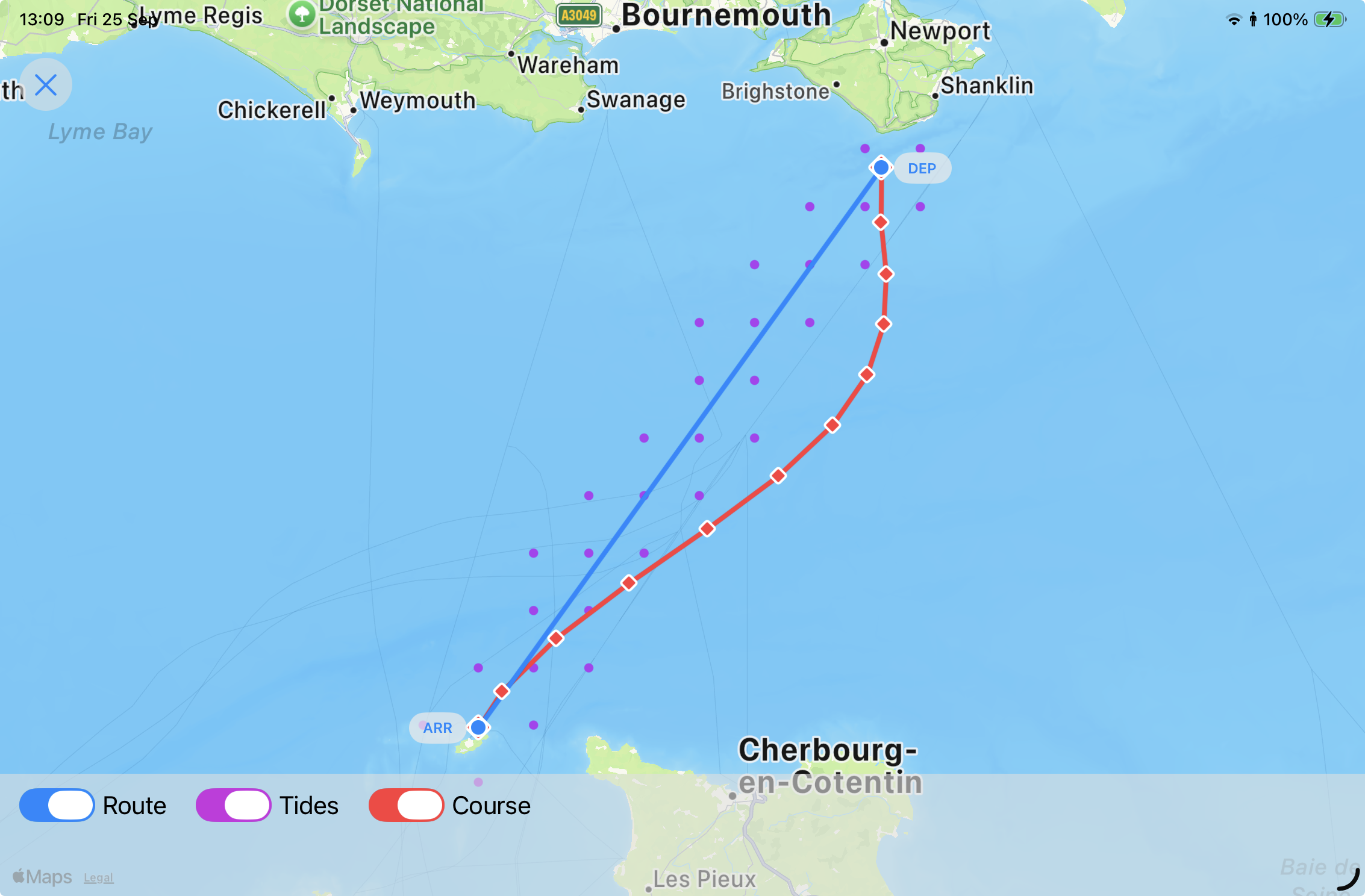
Compare navigation methods, then review course to steer, estimated positions and passage timing.
Adjust to an observed position and time or sea conditions while underway. The app recalculates the rest of the passage, even when offline.
Experience

Set the route and passage parameters. course2steer builds the tidal picture for the planned time window.
Compare Standard and CrossTide methods, plot the resulting course and review estimated positions and arrival time.
Update timing, speed, leeway or an estimated position. course2steer recalculates the remaining passage with refreshed data.
DATA APIs
course2steer connects to digital tide providers through their application programming interfaces (APIs).
course2steer selects data for the navigator’s route and time window, validates the provider samples and creates one consistent tide table for the navigation engine.

NOAA publishes US hydrographic data from the Center for Operational Oceanographic Products and Services (CO-OPS). course2steer obtains qualified tidal-current predictions for routes within NOAA’s supported coverage.

Supplies astronomical tide predictions that support passage planning months in advance. course2steer selects data for the route, departure time and projected passage position.

Provides global modelled tidal currents as a backup source when qualified station data cannot cover the passage.
System overview
The course2steer server obtains provider samples and the app performs the interactive navigation workflow.
A passage Session stores the route parameters, tide table and calculation inputs for later offline adjustment and replay.
Built as a companion
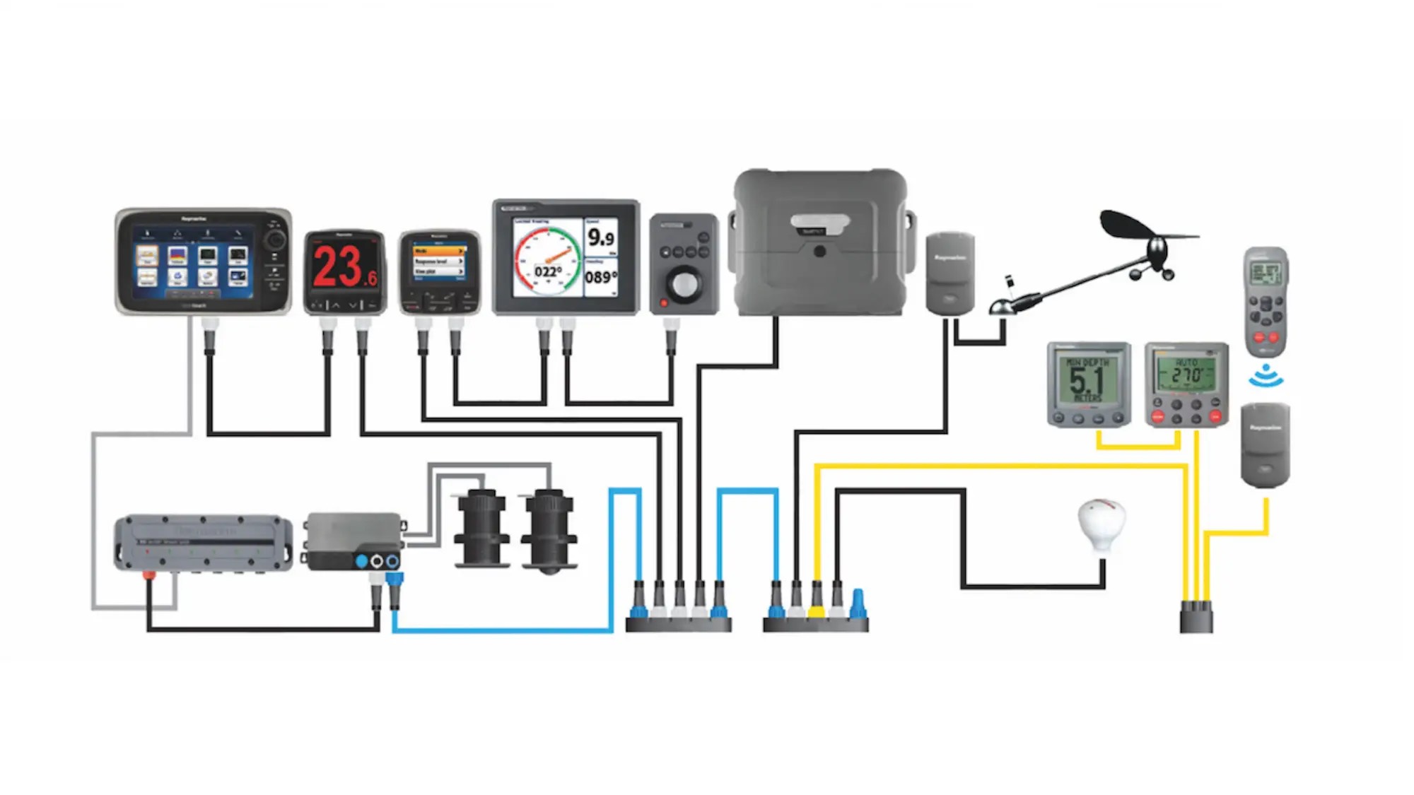
Chartplotters excel at electronic charts, position, speed and heading. course2steer focuses on applying the tide to route planning, course to steer and passage timing.